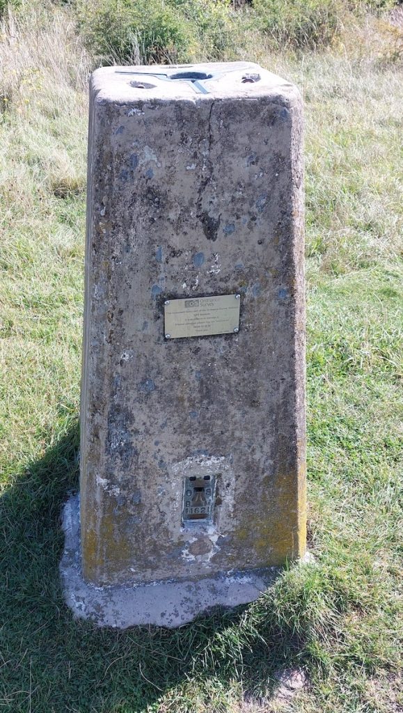
I do like a bit of infrastructure. Yesterday, I went out for a walk around Farley Chamberlayne to explore some Fairport Convention history after reading Wylding Hall. Walking up the Farley Monument Mount, which has views towards Southampton on a clear day, I noticed this Ordnance Survey (OS) trigonometry point.

Given the computation used to create maps and representations, it is sobering to think that there are still manual processes to check and create the data. I as briefly thinking about this yesterday while using Google Maps to navigate through some unfamiliar territory and realising how bad it is outside of roads and urban landscapes. It has its uses for sure but the data is pretty terrible and does not have the resolution of an OS map. (I am becoming less enchanted by Google’s metadata handling across a few areas – including its books and citations.)
For the next hike, I will be getting an OS map and compass as well a decent pair of boots.
No Comments